|
|
|
|
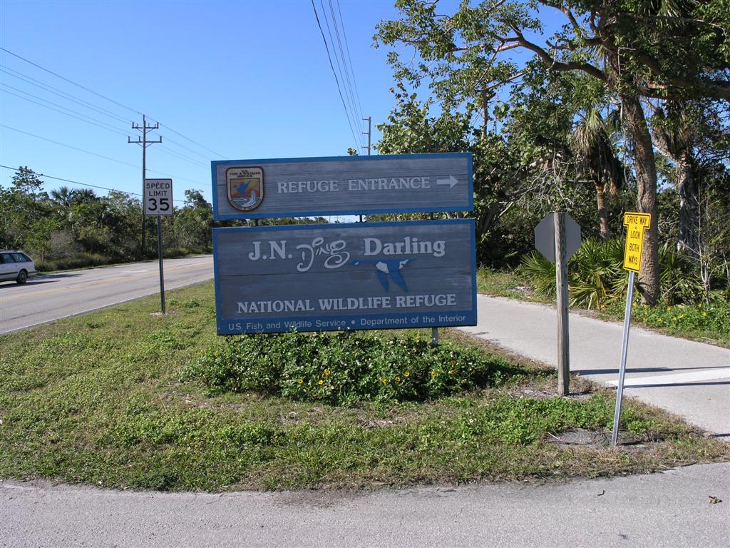
Entrance to Wildlife Refuge
|
|
|
|
Map of Sanibel Island and Wildlife Refuge
|
|
|
|
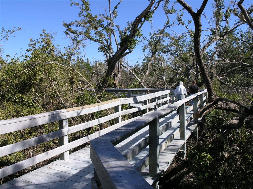
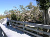
Boardwalk to Sanibel Light House
|
|
|
|
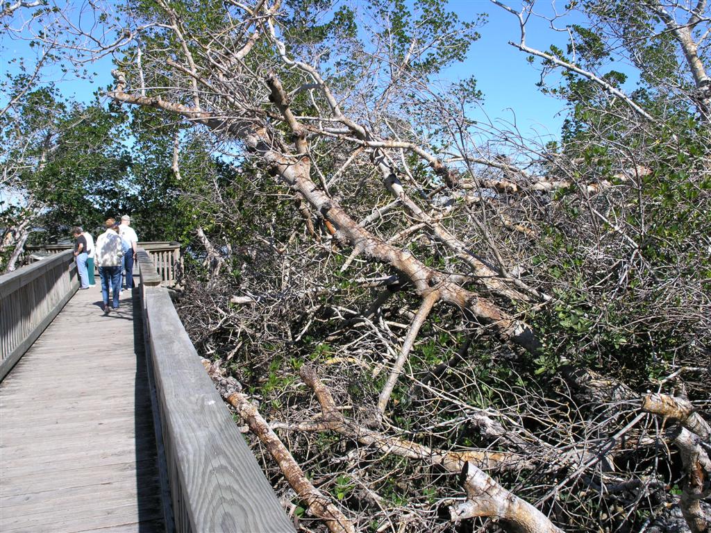
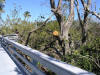
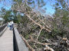
There was a lot of damage to the trees from Hurricane Charley
|
|
|
|
Notice the cut limbs on the trees
|
|
|
|
|
|
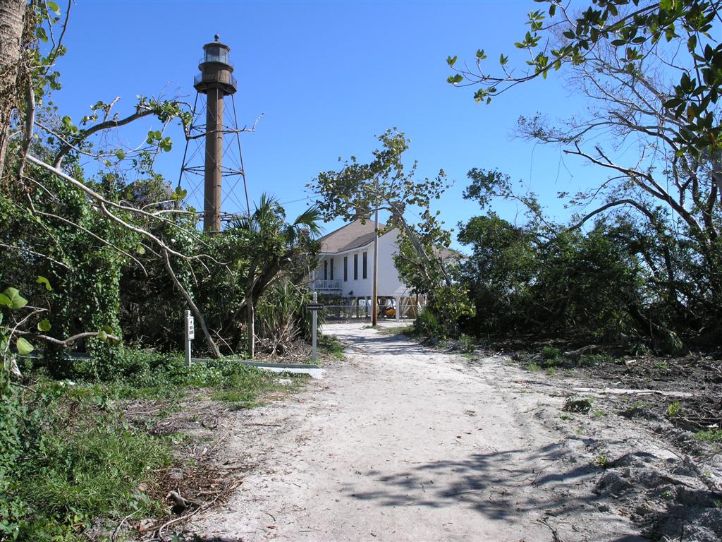
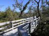
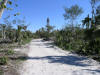
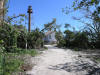
Roadway to light house
|
|
|
|
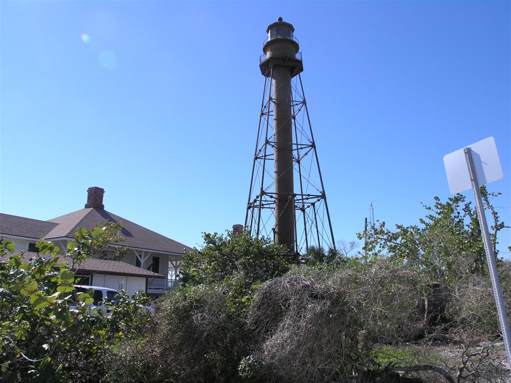
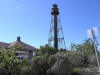
Light House close view
|
|
|
|
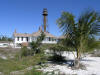
View from beach in front of light house
|
|
|
|
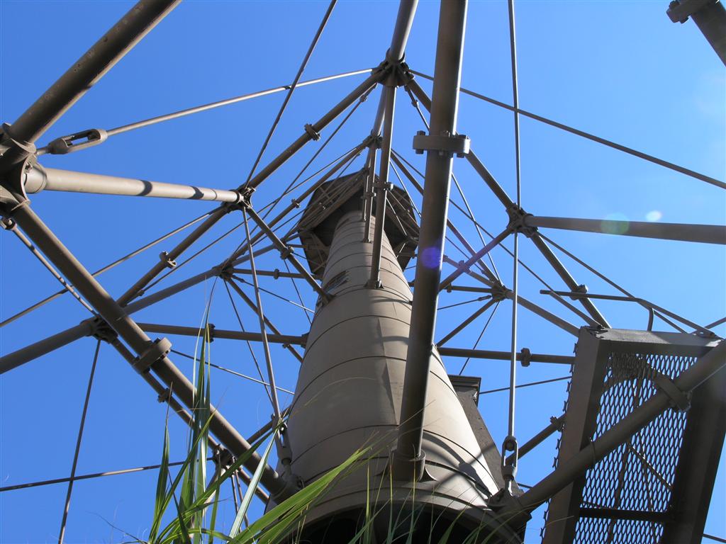
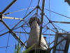
View up through the center of light house base
|
|

|
|
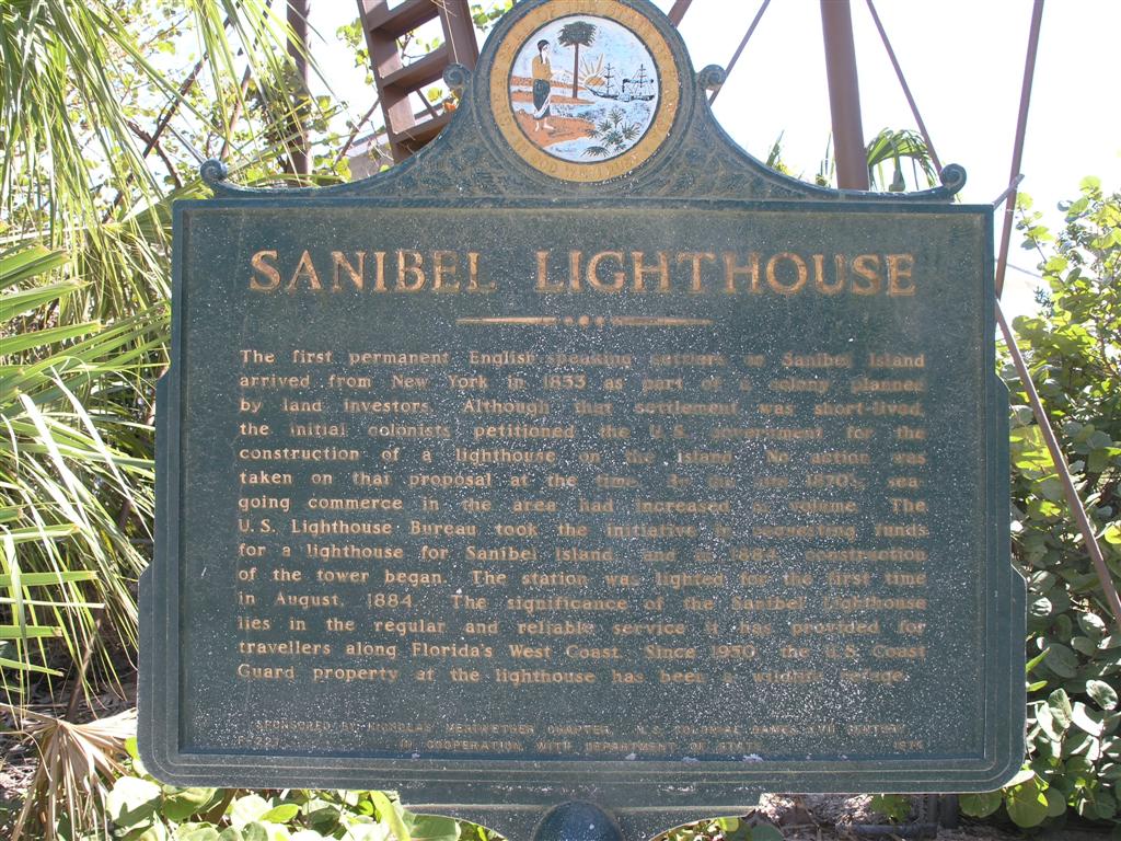
Light House Plaque. Not a bad picture, plaque needs to be replaced
|
|
|
|

|
|
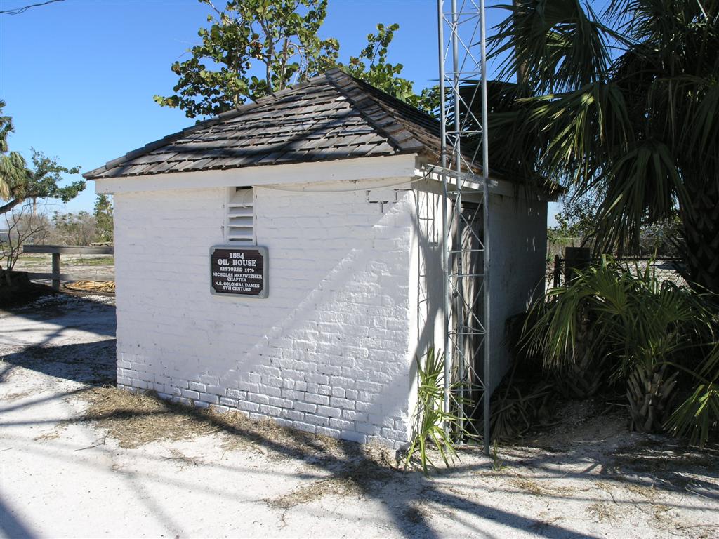
Oil house next to light house
|
|
|
|
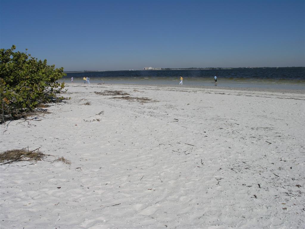
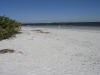
View from beach
|
|
|
|
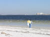
View of beach in front of light house
|
|
|
|
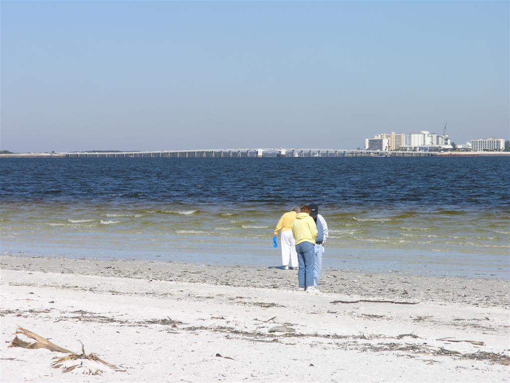
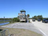
First section of Sanibel Island Bridge
|
|

|
|
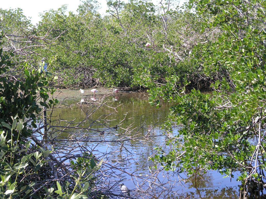
3 Spoonbill Roseates
|
|
|
|

|
|
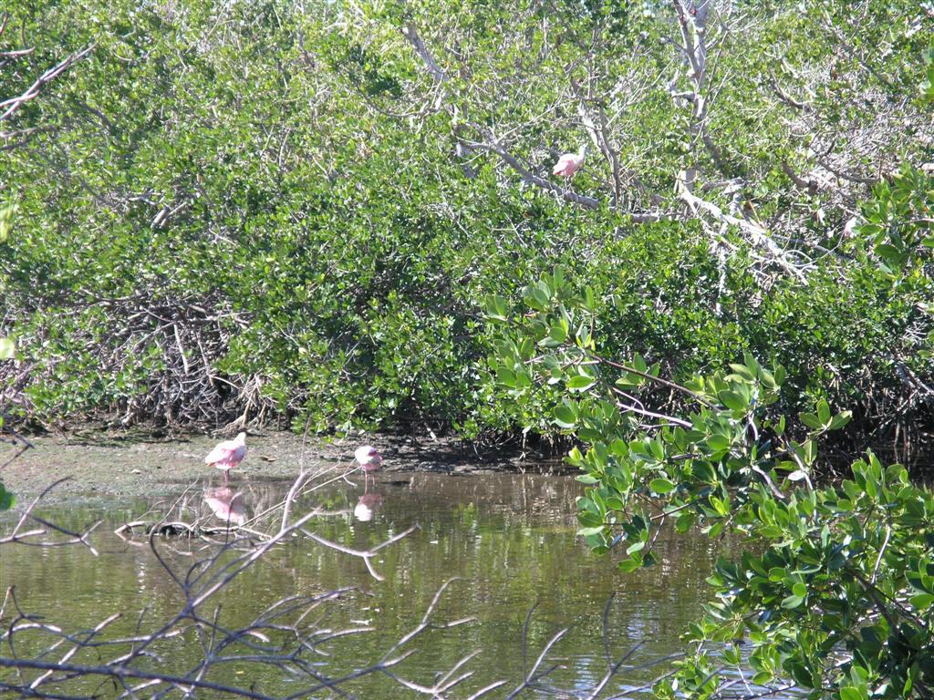
Closer view
|
|
|
|
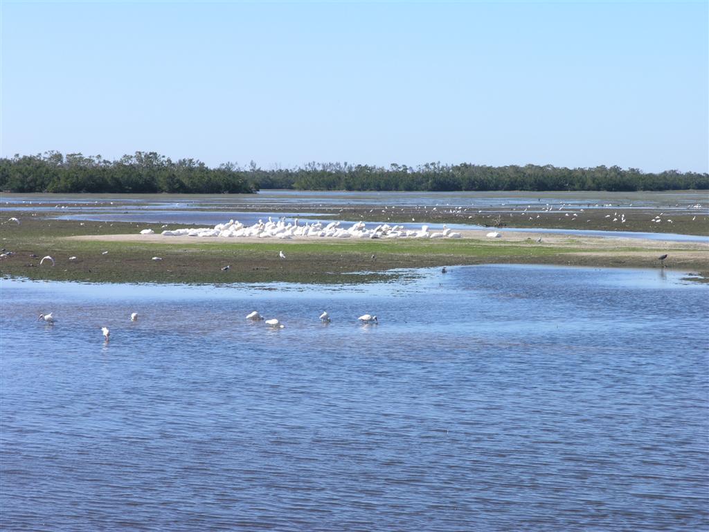
Group of White Pelicans
|
|
|
|
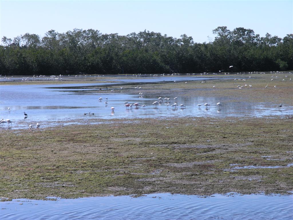
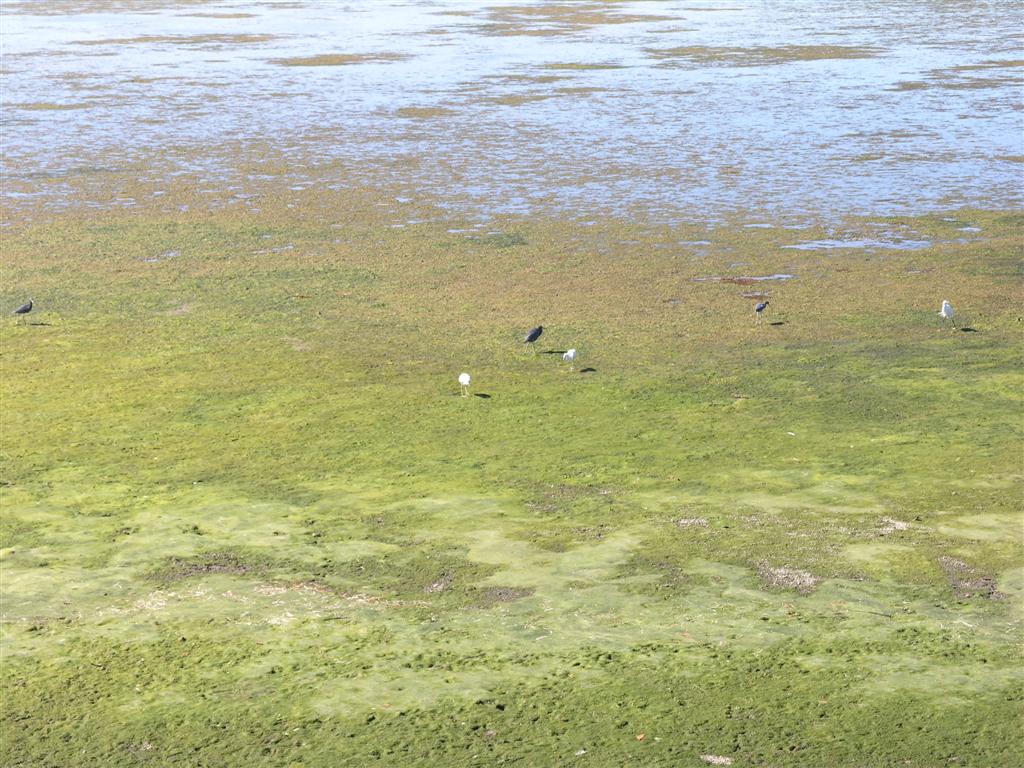
Too many differant types of birds to name here
|
|
|
|
Boardwalk out to Mangrove Overlook
|
|
|
|
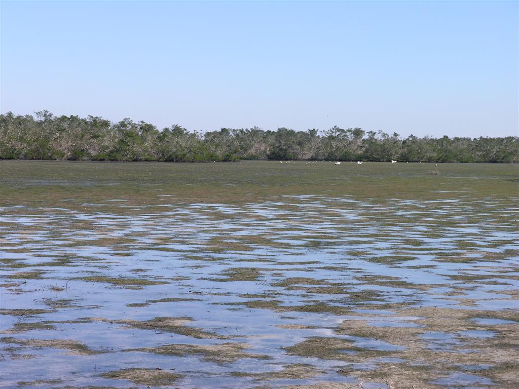
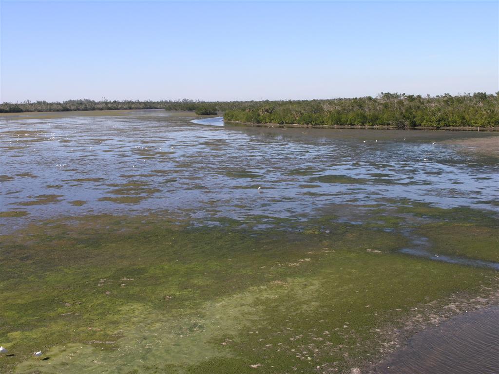
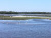
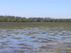
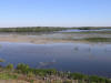
View of wet slough from observation tower
|
|
|
|
|
|
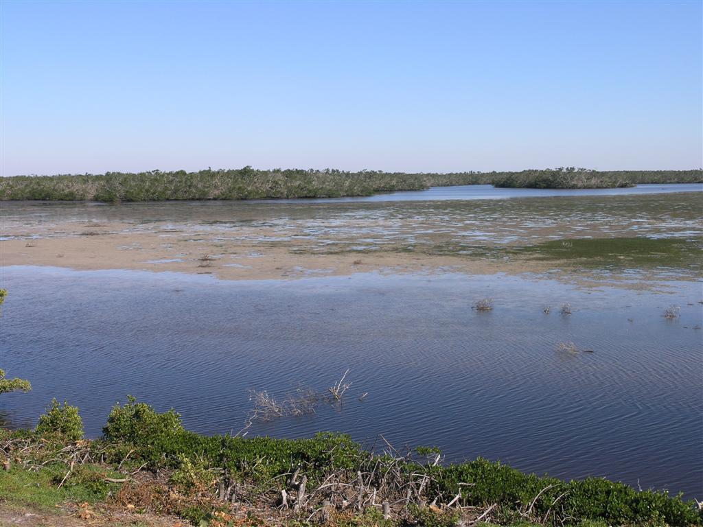
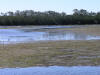
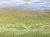
View of wet slough from observation tower
|
|
|
|
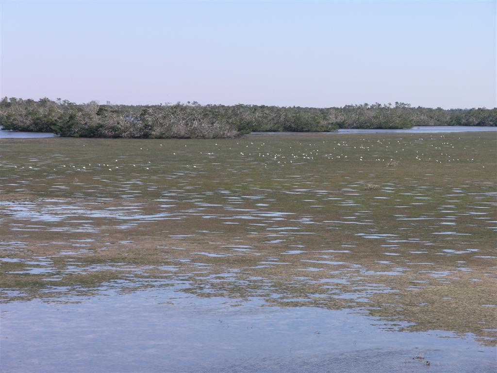
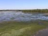
View of wet slough from observation tower
|
|
|
|
View of wet slough from observation tower
|
|

|
|
View of wet slough from observation tower
|
|
|
|
View of wet slough from observation tower
|
|
|
|

|
|
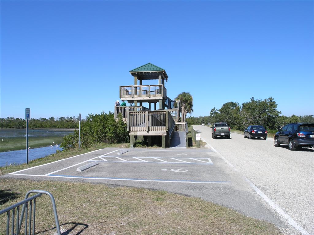
Vistors Center
|
|
|
|
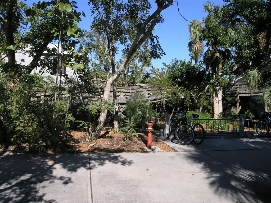
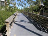
Boardwalk to Vistors Center
|
|
|
|
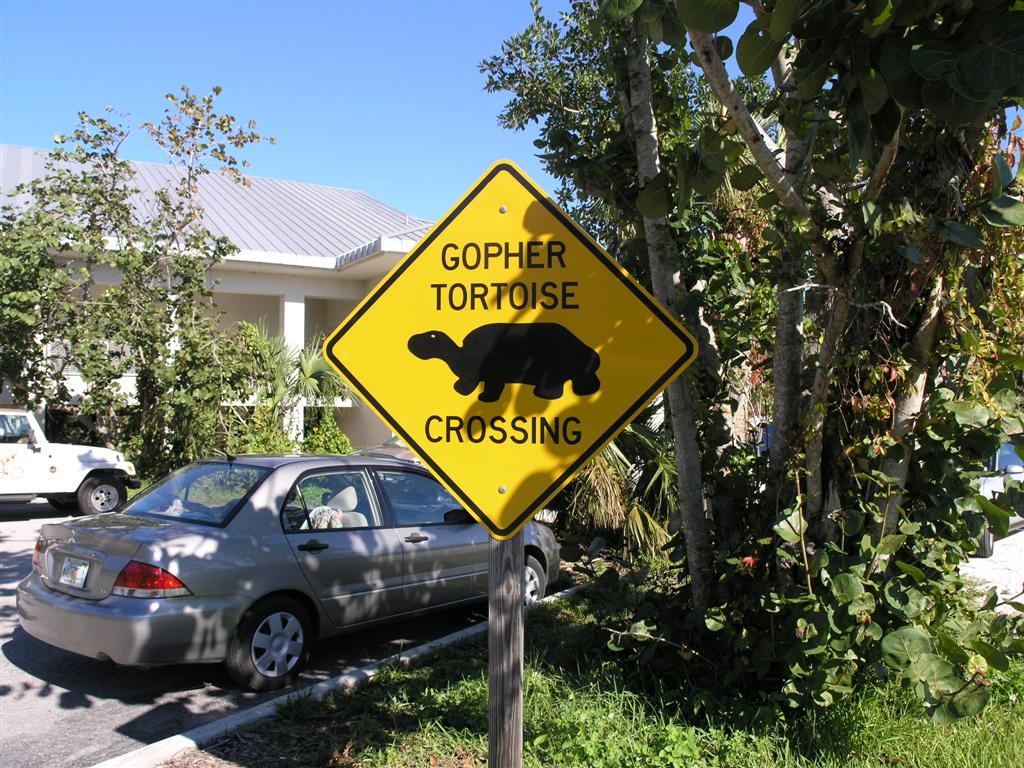
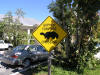
Sign in Vistors Center Parking Area
|
|
|